1SQFT - Land Price & Tax Mapတစ်ပေပတ်လည် မြေဈေးနှုန်းနှင့် အခွန်မြေပုံ (1SQFT)
Comprehensive land valuation maps and square-feet price data linked with street information across Yangon townships. ရန်ကုန်မြို့နယ်များရှိ လမ်းအလိုက် တစ်ပေပတ်လည် မြေဈေးနှုန်းများနှင့် အခွန်စည်းကြပ်မှုဆိုင်ရာ အချက်အလက်များကို အသေးစိတ်ကြည့်ရှုနိုင်သော မြေပုံစနစ်။
Yangon Township Map Book (2026) is available now! ရန်ကုန်မြို့နယ် မြေပုံစာအုပ် (၂၀၂၅) ထွက်ရှိပါပြီ!

Price: 35,000 MMK
Botahtaung Township 1SQFT Mapဗိုလ်တထောင်မြို့နယ် တစ်ပေပတ်လည် မြေဈေးနှုန်းမြေပုံ
Yangon House Square Feet Price Mapရန်ကုန်မြို့ပြ တစ်ပေပတ်လည် မြေဈေးနှုန်းမြေပုံအစုံ
How to Use This Mapမြေပုံအသုံးပြုပုံ အညွှန်း
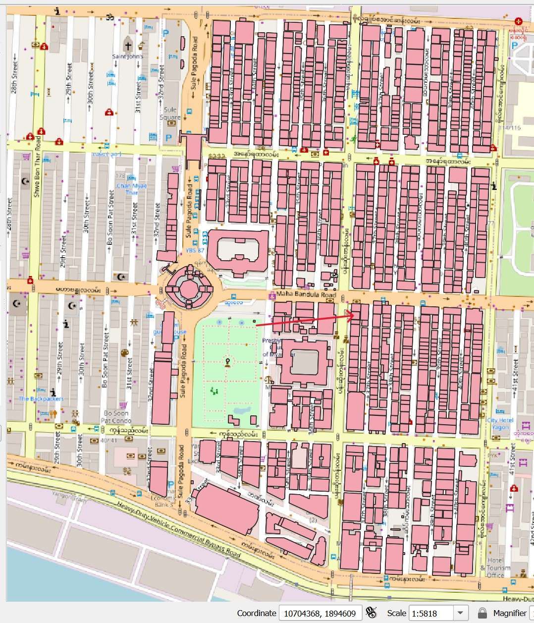
Red numbers displayed on the map indicate the 1-square-foot land prices. Clicking on these numbers will open a dropdown box showing:မြေပုံတွင်တွေ့ရသည့် အနီရောင်ဖြင့်ဖော်ပြထားသော ကိန်းဂဏန်းများမှာ တစ်ပေပတ်လည်ဈေးနှုန်းများဖြစ်ပါသည်။ ထိုကိန်းဂဏန်းများကို click နှိပ်ကြည့်ပါက အောက်ပါအချက်အလက်များကို ကြည့်ရှုနိုင်ပါသည် -
- 1SQFT Priceတစ်ပေပတ်လည်ဈေးနှုန်း
- Government Tax Assessment Book Pageအစိုးရအခွန်စည်းကြပ်စာအုပ် စာမျက်နှာ
- Book Heading Number၎င်းစာအုပ်ခေါင်းစဉ်နံပါတ်
- Townshipမြို့နယ်
- Street Size / Widthလမ်းကျဉ်း / ကျယ်
- Street Nameလမ်းနာမည်
TAX MAP & Land Price Guide
Every Realtor must know the term 1SQFT or 1 Square Feet Price which calculates tax based on a one-foot by one-foot square land price. The price of that one square feet varies depending on several factors.
တစ်ပေပတ်လည် မြေဈေး (ta-bae paet lei myay ze) translates to "1 Square feet of land" in Burmese.
This concept is definitely relevant when discussing land value and property taxes in Myanmar. However, it's important to understand that land tax isn't directly calculated based on a single price per square foot.
Here's a breakdown of how land tax is typically determined in Myanmar:
- Three Main Systems: There are three main methods used in different regions to establish the base value of your property for tax purposes: Unit Area Value (UAV), Capital Value, and Annual Rental Value (ARV).
- Unit Area Value (UAV): This is the closest concept to "price per square foot." The government pre-determines a UAV for your location, considering factors like property type, age, and amenities. They multiply this UAV by your property's total area to get a base value.
- Other Systems: Capital Value uses a percentage of the estimated market value, while ARV estimates potential annual rent as the base value.
Finding Land Prices:
- UAV Rates: Unfortunately, there isn't a readily available public source for all UAV rates across Myanmar. You might need to contact your local government offices or a registered land broker to inquire about the specific UAV for your desired area.
- Market Research: For a more general idea of land prices in a specific area, you can look at real estate listings or consult with a real estate agent.
In Myanmar, the cost per square foot for tax purposes is often determined by the tax officer based on a combination of factors, including the construction cost, current market rates, and guidelines provided by local authorities.
Example of 1SqFt Map: https://dpsmap.com/1sqft
$$\text{Cost per Square Foot} = \frac{\text{Capital Value of Property}}{\text{Total Square Feet}}$$
$$\text{Cost per Square Foot} = \frac{\text{Lakh } 5,00,0}{1,000 \text{ sq. ft.}} = \text{Lakh } 5.00 \text{ per sq. ft.}$$