Kanbawzathadi Golden Palace
Reconstructed 16th-century royal palace of King Bayinnaung showcasing classical golden teak architecture.
Bago Region is a historically rich region in lower-central Myanmar, home to the ancient Mon kingdom of Hanthawaddy, Pyay, and major transit expressways.
Bago Region is divided into Eastern and Western sections separated by the Bago Yoma mountain range. It borders Naypyitaw and Mandalay to the north, Kayin and Mon to the east, Yangon to the south, and Ayeyarwaddy and Magway to the west.
The ancient royal city of Bago contains Shwemawdaw Pagoda (the tallest pagoda in Myanmar at 114m), Kanbawzathadi Palace, and Shwethalyaung reclining Buddha, making it an essential cultural corridor.
Population
Capital City
Townships
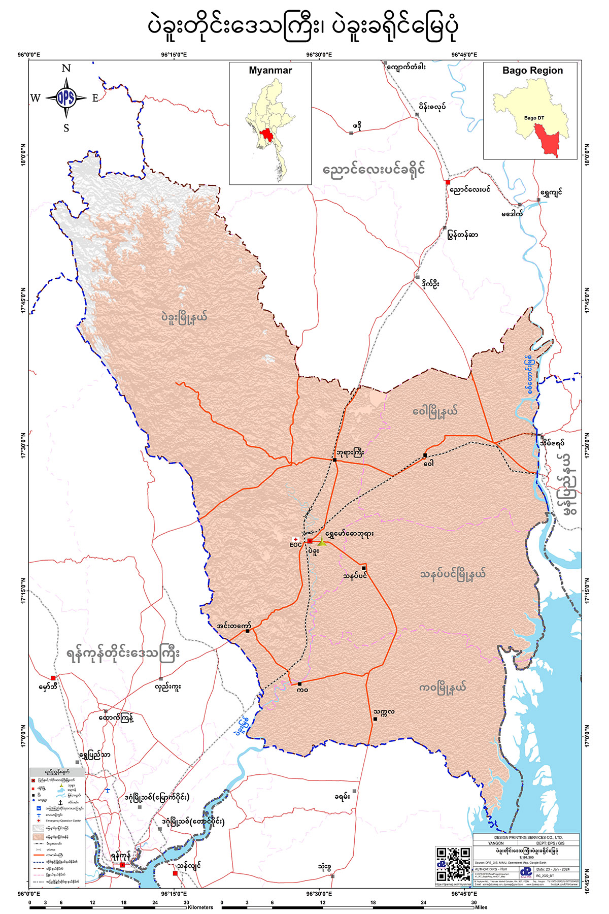
To download the full and complete Bago Region Map:
Notable ancient heritage monuments and regional centers in Bago.
Reconstructed 16th-century royal palace of King Bayinnaung showcasing classical golden teak architecture.
Myanmar's highest golden stupa rising to 114 meters, housing sacred Buddha hair and tooth relics.
UNESCO World Heritage Pyu Ancient City near the Ayeyarwaddy River with 5th to 9th-century stupas.