YouTube demonstration
A guided overview of displaying Form 105 map information in Google Earth.
DPS helps georeference Form 105 documents, display land information in Google Earth, prepare site plans and produce satellite-location maps for practical review and applications.
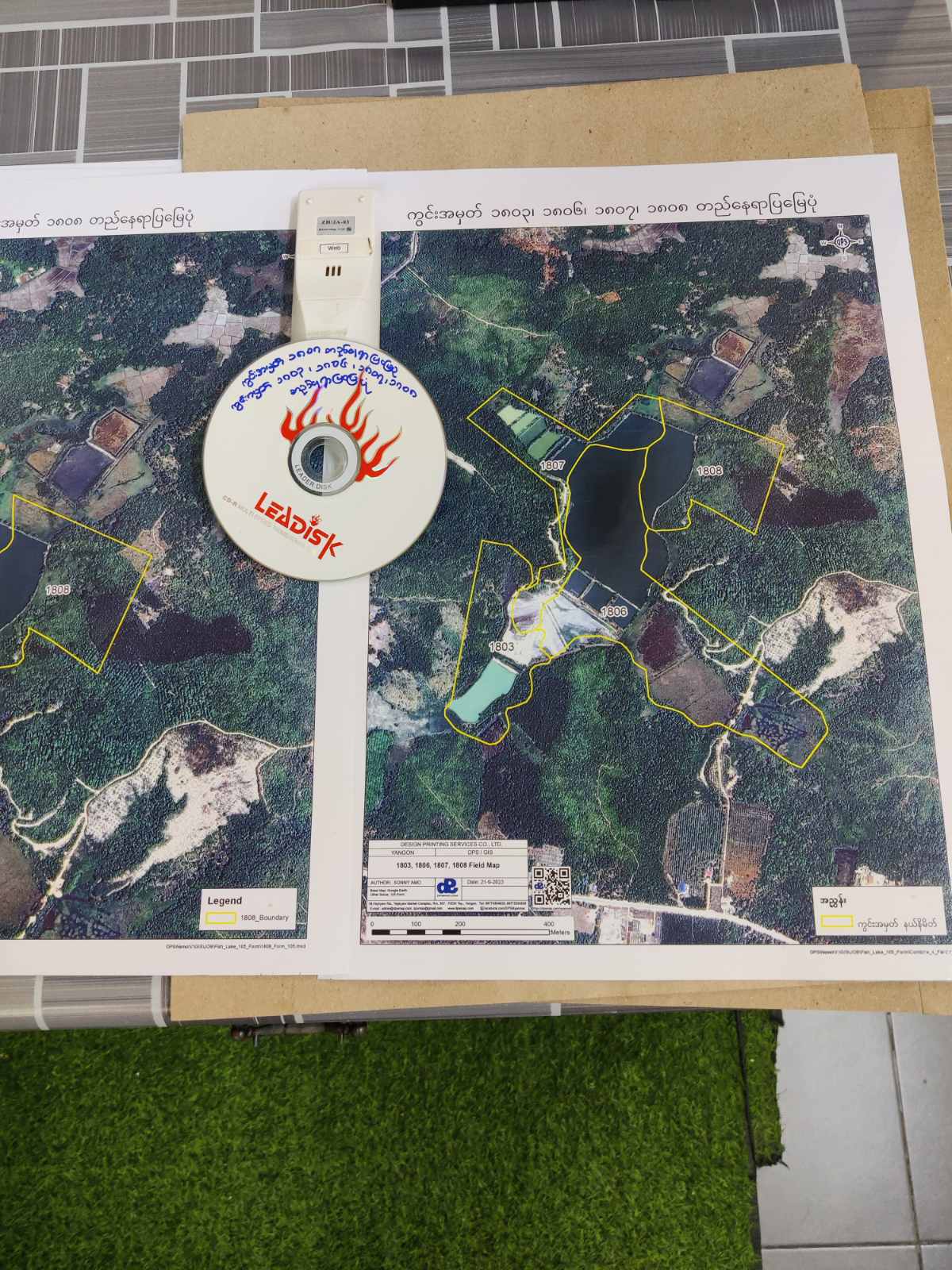
These demonstrations show the process and result of placing mapped land information into Google Earth for easier visual inspection and location context.
A guided overview of displaying Form 105 map information in Google Earth.
The original DPS project video supplied with this Form 105 page.
Position scanned plans or Form 105 information against real geographic coordinates.
Review a land parcel together with satellite imagery, roads and surrounding landmarks.
Prepare clear site plans, near-and-far location views and application-support maps.
This legacy Form 105 project records a proposed shop-house and agricultural-support development on part of a registered 2.53-acre parcel.
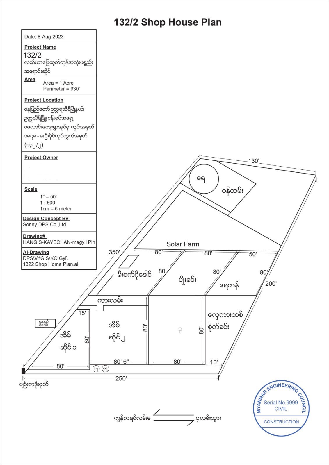
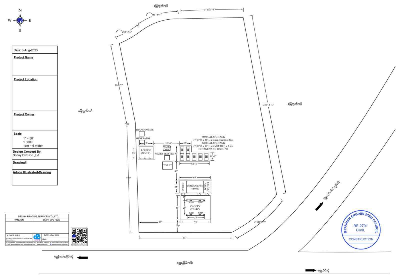
The proposal aims to operate an agricultural-products and consumer-goods shop with related warehouses, staff accommodation, cold storage, drip farming, a nursery, seasonal-fruit sales and solar-energy systems.
The proposal uses 0.99 acre from a registered 2.53-acre agricultural parcel. Planned resources include solar, wind power, a generator, future grid electricity, existing wells, rainwater storage, a 5,000-gallon tank, reservoirs, access roads and employment for approximately 10–50 local young people.
The recorded initial investment is MMK 50 million (500 lakh), supported by the referenced bank-account documentation.
The staged plan covers access roads, water storage, solar power, land preparation, staff buildings, warehouses and seasonal monitoring, followed by nursery and fruit shops, a coffee shop, landscaped garden, charging station, additional shop houses, guest accommodation and farm-stay facilities.
The proposal concludes that the 0.99-acre development would invest 500 lakh, prioritize appropriate production activities and seek to create employment for 10–50 young people from nearby communities.
A client referred through religious-affairs administration contacted DPS to prepare mapping materials based on supplied examples for a religious-land application.
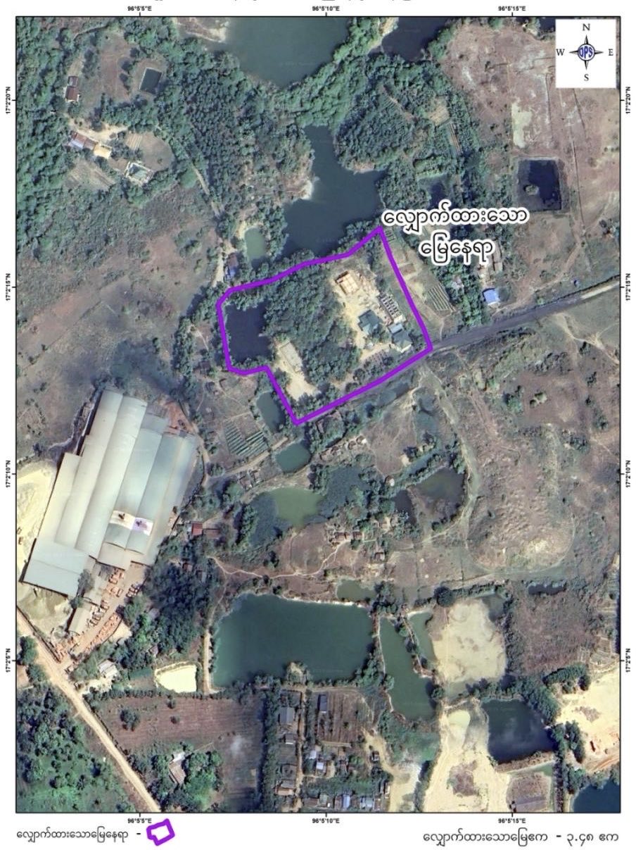
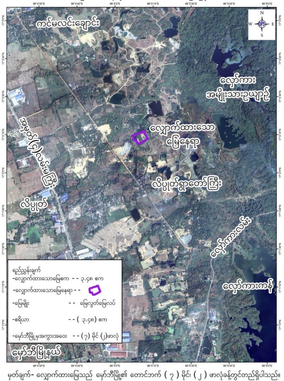
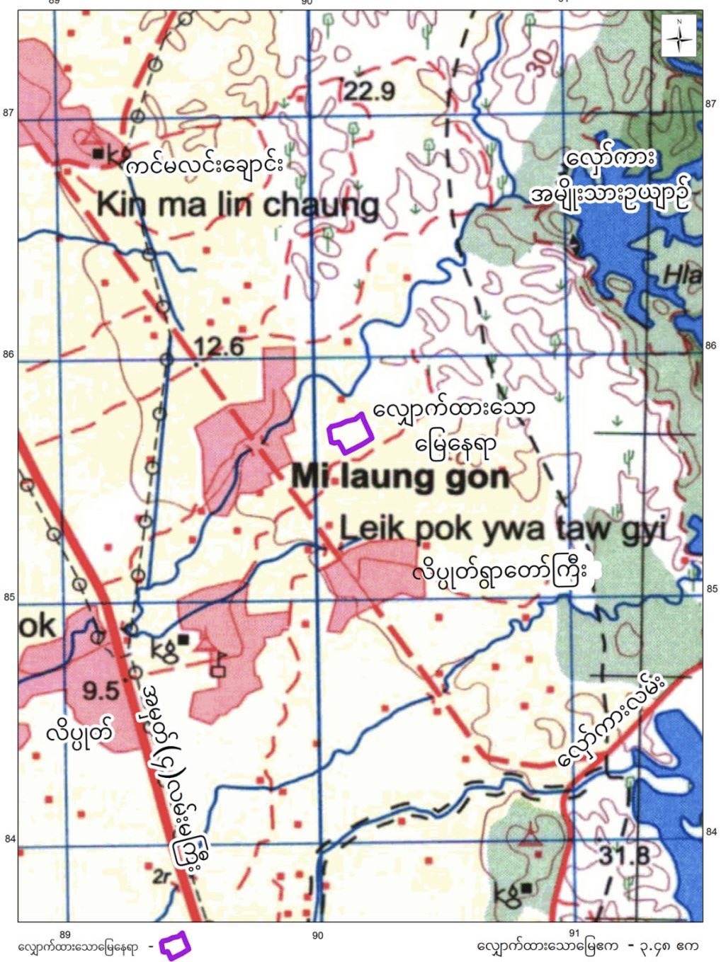
Contact DPS with your available Form 105 document, land-plan image, coordinates and intended output. The team can discuss georeferencing, Google Earth display and custom mapping requirements.