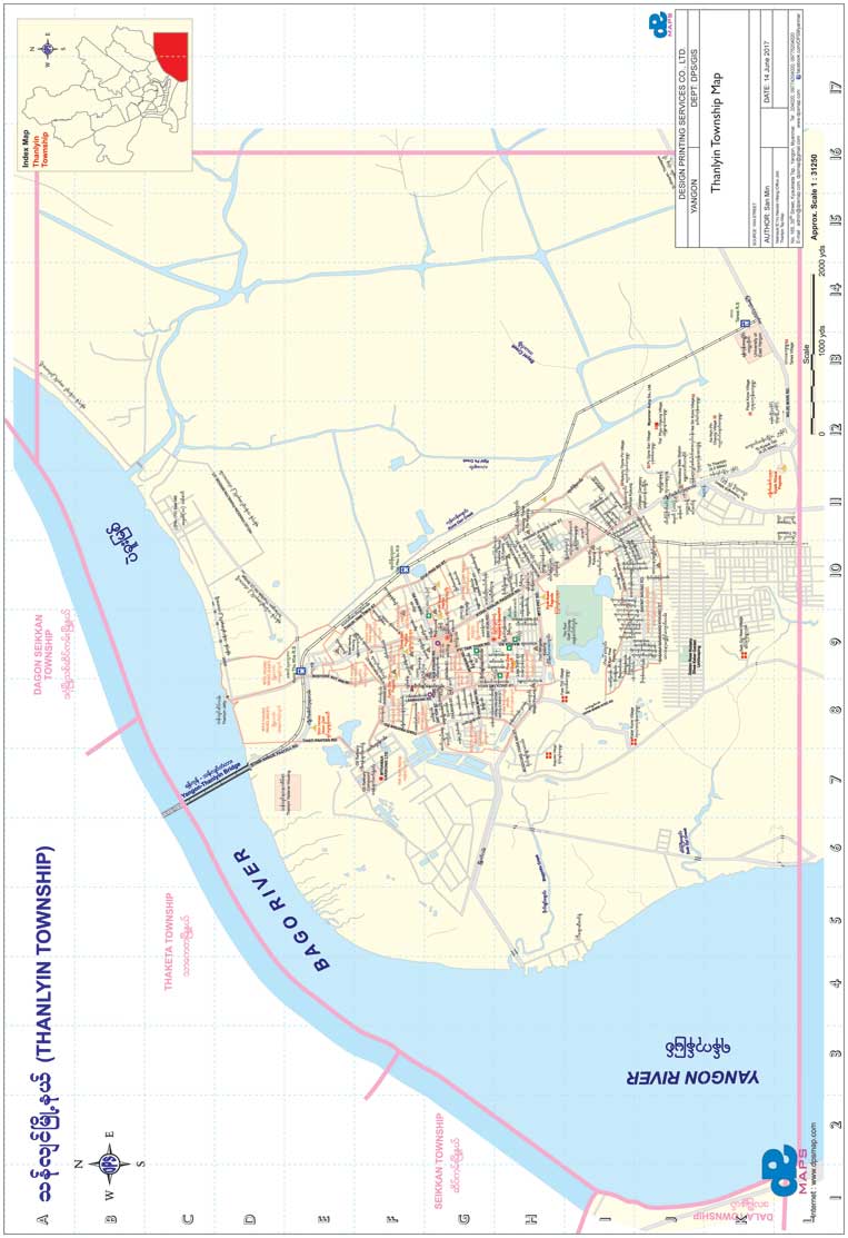
Thanlyin & Thilawa SEZ
Deep sea port, industrial facilities, and bridge connection routes.
Explore and download high-resolution Yangon city maps, 33+ township maps in English and Myanmar language, regional district connections, and precision GIS cartography.

Get the official 2026 high-resolution Yangon City Map developed with updated road networks, YBS bus routes, expressway connections, commercial centers, and township boundaries.
Complete the form to receive the high-resolution download link via email.
Click any township to preview its geographic boundary and street network map.
Township street maps labeled completely in Myanmar language script.
Outer township maps and expressway connectivity surrounding Greater Yangon.
Deep sea port, industrial facilities, and bridge connection routes.

Historic pottery village, river transit canals, and rural delta connections.

Pyay Highway transit corridor and northern agricultural townships.

Ye Le Pagoda, coastal fishing communities, and Gulf of Mottama routes.

Southern Yangon agricultural region connecting to the Andaman coastline.

Expressway master plans, outer ring bypasses, and industrial zones.