Nat Ma Taung (Mount Victoria)
ASEAN Heritage Park and Myanmar's third highest peak covered in rare alpine flora and red rhododendron blooms.
Chin State is located in western Myanmar along the borders with India and Bangladesh, known for its dramatic mountain ranges, rich cultural traditions, and temperate climate.
Chin State is a mountainous region with few flat areas, featuring elevations up to 3,053 meters (10,016 ft) at Nat Ma Taung (Mount Victoria). It is bordered by Sagaing and Magway to the east, Rakhine to the south, Bangladesh to the southwest, and India to the west.
Hakha serves as the state capital, while Mindat and Kanpetlet are renowned gateways for ecotourism, rhododendron forests, and Mount Victoria national park trekking.
Population
Capital City
Townships
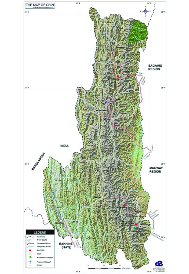
To download the full and complete Chin State Map:
Famous mountains, lakes and cultural destinations across Chin State.
ASEAN Heritage Park and Myanmar's third highest peak covered in rare alpine flora and red rhododendron blooms.
A naturally heart-shaped freshwater lake situated in Falam Township near the India-Myanmar border.
Traditional mountain townships famous for traditional nose-flute playing and highland pine forests.