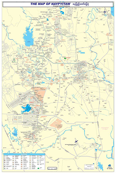
After Naypyitaw is secretly built in 2005 and after the seat of government moved to Naypyitaw,
the only map available for this town is a hand-drawn Ministries Map only.
As all the government offices had to move to Naypyitaw, all the related business and
people has to follow them to Naypyitaw to do their business used to do in Yangon - now the business capital of Myanmar.
DPS helped Naypyitaw Development Committee with Bilingual Map of Naypuitaw in 2006.
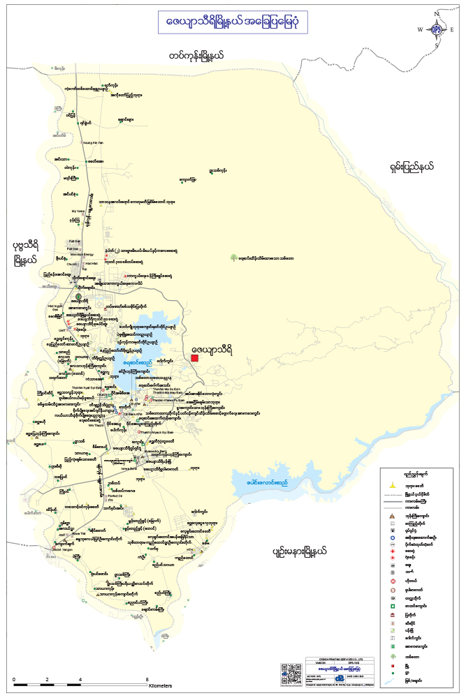
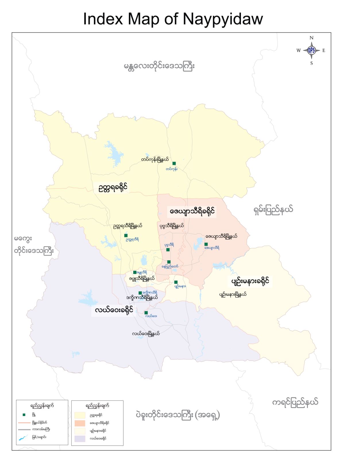
The digital version of Naypyitaw Map was created in Mapinfo based on the AutoCad version from City Planners.
DPS staff had to move to Naypyitaw and traveled the barren roads - some ended abruptly into high ditch - clad with GPS and cameras.
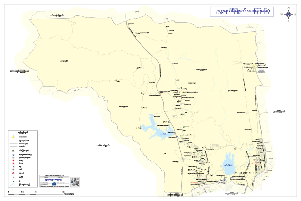
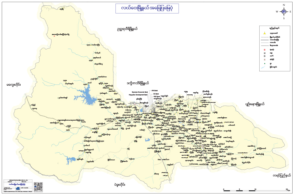
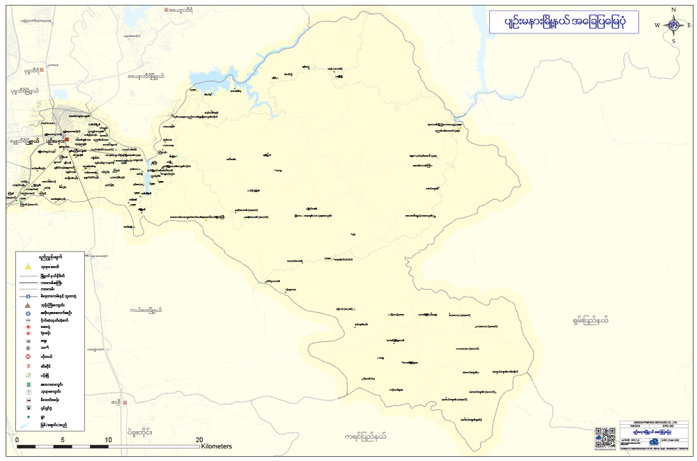
It took DPS 3 months and a budget of 50,000$ to produce GIS map of Naypyitaw (4422 entries of roads, 225 entries of Points of Interests,
184 Village Tracts) together with printed street directory clearly showing the locations of each Government Ministry.
It was an instant hit and the books sold out within a week.
The digital version of Naypyitaw is kept updated available from DPS. If you are interested in Naypyitaw GIS please write to dpsmap@gmail.com.
 English
 Myanmar